 |
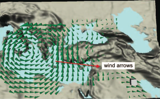
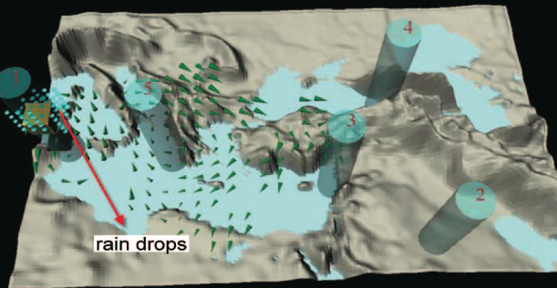
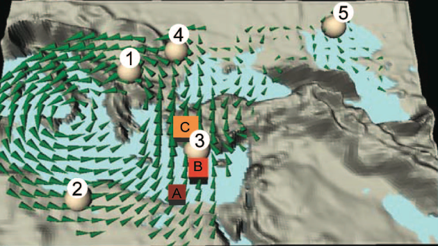
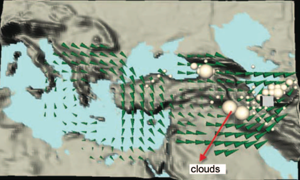
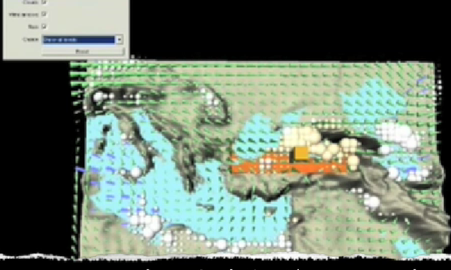
CeVIZ (Climate Exploration and Visualization) is a virtual environment which helps people discover and learn the cause and effect relationships in geography and climate data by feeling the winds and touching the mountains, exploring new ways to combine information visualization and haptics. The user takes on the role of a scientist and investigates real climate data, trying to understand the relations by taking out mountains and seeing the effect on climate. Having realized the power of technology for learning in my Facial Animation project, I wanted to create tools which would help people explore, discover and internalize information in an engaging way. Hence, as my master's thesis at Koc University (Istanbul, Turkey) I came up with the idea of creating a virtual environment which would help people explore the cause and effect relationships in geography and climate by taking on the role of a scientist, discovering facts by making manipulations and seeing consequences using real data (Traditionally in Turkey, geography is taught based on memorization and nobody really understands the principles lying behind the natural phenomena). To accomplish this, I first had to find different multimodal ways to visualize the large amounts of climate data that was very complicated and hard to grasp for people. Although my project came out to have quite an influence both in academia and the press, I felt that this was just a very small part considering what could be done in similar ways to help people learn, explore and grasp information in different contexts. My research was published in IEEE Transaction for Haptics and New Scientist. You can also read the whole paper here.
|
|
|
|
|
|